Tumbling Creek Cave Map
From May 2019 through July 2022, dozens of members of the Cave Research Foundation and Missouri Speleological Survey spent hundreds of hours surveying and mapping Tumbling Creek Cave. The work was donated as a contribution to the conservation efforts of the Tumbling Creek Cave Foundation and Ozark Underground Laboratory.
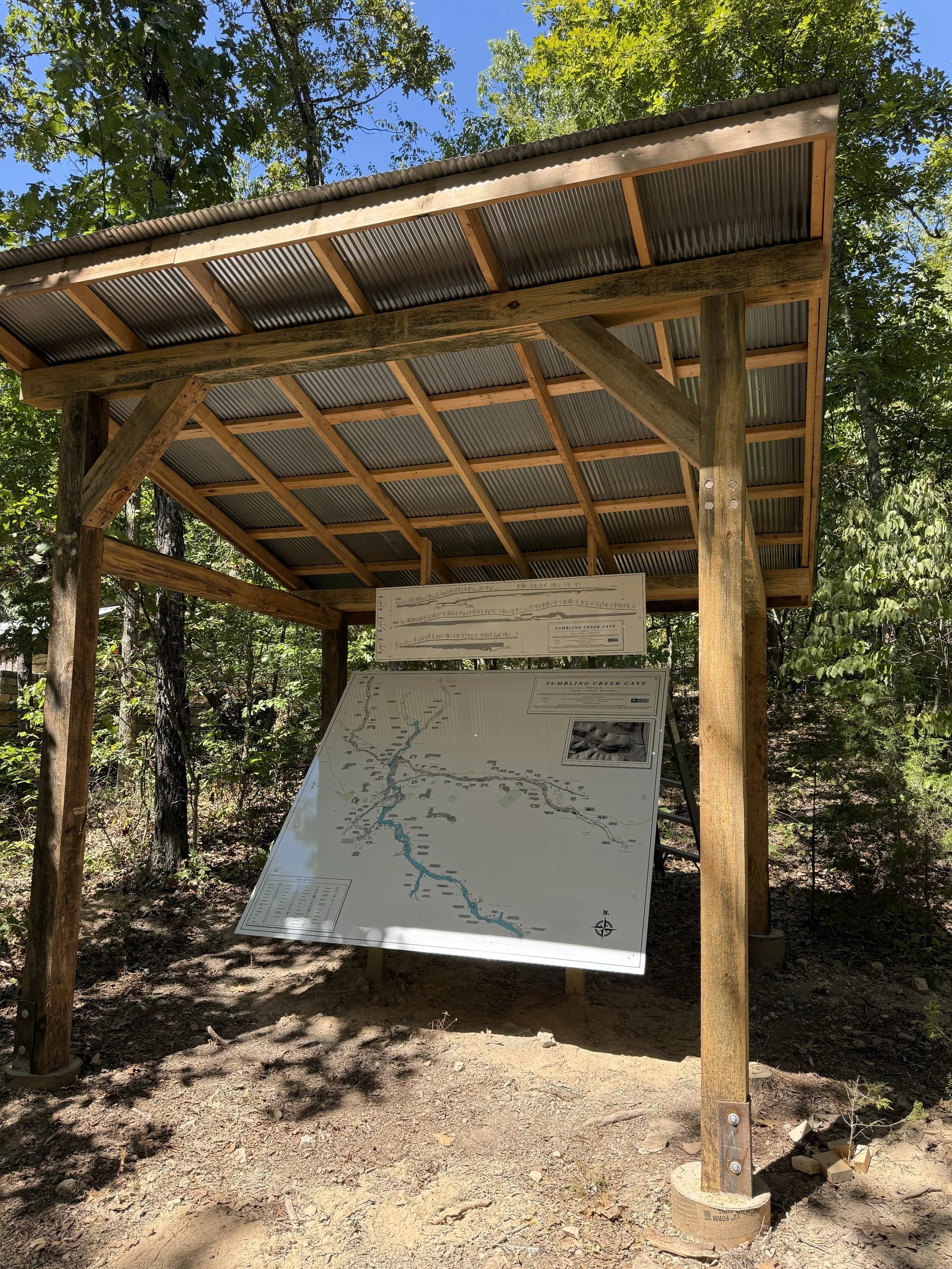
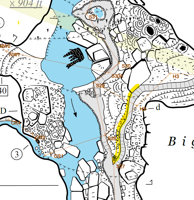
Over 10,780 feet of passage was surveyed in Tumbling Creek Cave, resulting in a fantastic cave map created by cartographer Dan Lamping in 2023. On the map, cave passages are shown in incredible detail, including ceiling height, water depth, elevation, and georeferenced surface features overlying the cave system. In 2025, staff from the Ozark Underground Laboratory created an interpretive exhibit at the OUL field station displaying an 8’x7’ copy of the cave map.